无人机航摄系统免像控快速测制大比例尺地形图关键技术分析

打开文本图片集
中图分类号:P631 文献标志码:A 文章编号:2095-2945(2025)24-0140-04
Abstract:Inorder toensuretherapidextractionof surfacespatialinformation,aUAVaerialphotosystememerged.This systemcanobtainhigh-resolutionimagesandcanbeusedforlarge-scaletopographicmapsurveyingandmappng.Inorderto improvetheeficiencyofsurveyingandmappingandensuretheacuracyofsurveyingandmapping,thispaperadoptsthe image-freerapidmeasurementmethod.Onthebasisofnotsetinggroundimagecontrolpoints,thepapercombinesthebasic routeandtheframeworkroute,andusesPOS-asistedaerialphotogrammetrytoquicklycompletelarge-scaletopographicmap drawing.Also,thispaperintroducesthecoretechnologiesusedinsurveyingandmapping,andcombinesroadenginering examplestoanalyzetheapplicationprocessofthe UAVaerialcamerasystem toquicklymeasure large-scaletopographicmaps withoutphotocontrol.Itisconcludedthatthis methodhastheapplicationadvantagesof improvingsurveyingandmapping effciency, saving surveying and mapping costs,and applying results in a wide range.
Keywords:UAVaerial photography;image-freecontrol;large-scale topographicmap;topographicmapmapping;POSassisted aerial photogrammetry
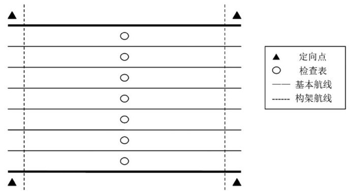
无人机航测作业时,通常需要设置多个外业像控点,采用CORS系统实施重复观测,且空三处理时刺点控制难度较大,对施测人员的专业性要求较高,并且工作量较大,像控效果易受到天气、地形等因素限制,无法保障航测结果的准确性。(剩余4206字)
