基于无人机多光谱遥感与激光雷达的农田防护林退化识别方法

打开文本图片集
中图分类号:TP79;S759.2 文献标识码:A 文章编号:1006-0960(2025)01-0010-11
Method for Identifying Degradation of Shelterbelt Based on UAV Multispectral Remote Sensing and LiDAR Modeling
LIHongshan1,XUTing1,XIANGZequn²,LITianlan²
(1.Forestryand GrasslandResources Monitoring Center,Xinjiang Productionand Construction Corps,Urumqi 830013,China;2.Collge of Resources and Environment,Xinjiang Agricultural University,Urumqi 830000, China)
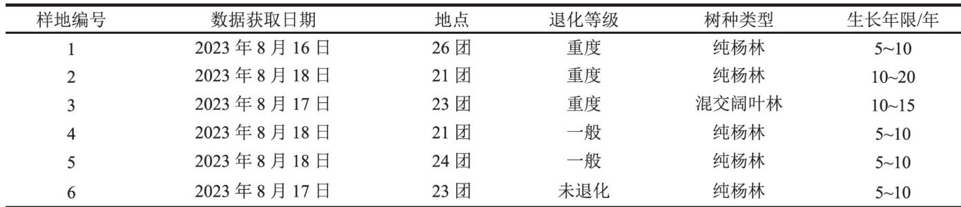
Abstract:This study utilized UAV multispectral remote sensing data,combined with Random Forest, Support Vector Machine,and Maximum Likelihood methods,to developacanopy identification model for the protective forest plots in the Second Division of the Corps aimed at estimating canopy closure.Additionally, airborne LiDAR was employed for three-dimensional modeling to calculate canopy transparency and gap lengthfordegradationassessment.Analysisofsixtypicalsamplesofseverelydegraded,mildlydegraded,and healthy farmland protective forests showed that among the three canopy classification models,Random Forest demonstrated the best classification accuracy when trained with sufficient samples,the clasification accuracy was generally better than Support Vector Machine and Maximum Likelihood methods.In the classification results ofdifferent types offorest land,the classification accuracyof severely degraded forests is better than that of general degraded forests and healthy forests.The classification results ofcanopy closure and transparency indicators aligned well with the results from manual field surveys regarding degradation levels. The technical processoutlined in this study provides a rapid and accurate method for determining the damage statusand degradation levelsoffarmland shelterbelts,oferinganew approach forfuture field investigations and management strategies.
Keywords: shelterbelt; unmanned aerial vehicle; multispectral remote sensing; LiDAR; machine learning; criterion of degeneracy
农田防护林是由一定树种组成且具有结构功能的生态防护体系,具有改善环境、调节局部气候和保证农田产量的重要作用,也是重要的农业基础保障设施[1]。(剩余10854字)