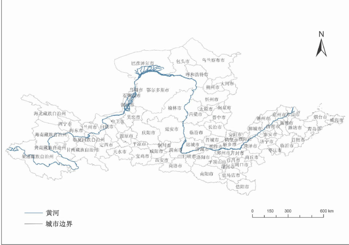
基于多区域投入产出和LMDI模型的黄河流域水足迹时空演变及驱动因素分析

打开文本图片集
中图分类号:TV213.4 DOI:10.16152/j. cnki. xdxbzr. 2025 -04 -002
AbstractWater resources are the key resources for ecological protection and high-quality development in the Yellw River Basin.As a key indicator for measuring the pressure on regional water resources utilization,the water footprint can comprehensively reflect the status of water resources utilization in the Yelow River Basin.
Therefore,analyzing the spatiotemporal patterns of water footprint,inter-regional transfer characteristics,and the driving factors of water fooprint changes can provide a scientific basis for the formulation of policies to improve the level of water conservation and intensive utilization in the whole basin region.The paper constructed a multi-regional input-output model of water resources at the prefecture-level city scale to examine the spatiotemporal paterns of water fooprint in the Yellow River Basin and the transfer characteristics of virtual water footprint among cities in 2012,2015 and 2017. The Logarithmic Mean Divisia Index (LMDI) model was used to further explore the socio-economic drivers of changes inthe water footprint and their impacts.The research findsthat the water footprint inthe Yelow River Basin shows an overallinverted "U"- shaped evolution trend of first increasing and then decreasing over time,and presents a regional pattern of "higher in the middle and lower reaches and lower in the upper reaches"in space.The transfer of water footprint is mainly concentrated within the provinces,and has obvious economic gradient-oriented characteristics.The level of economic development and technological factors are the main drivers of the change of water footprint,and there is significant spatial heterogeneityin the impacts of these factors on water footprint.Based on the differences inthe mechanisms,,the 78cities are divided into five categories of water footprint driving paerns,providing a scientific basis for regionspecific policies and targeted improvements in urban water conservation efficiency within the basin.
Keywordswater footprint; the Yellow River Basin; multi-regional input-output; LMDI model
黄河流域是我国重要的生态屏障和经济地带,在国家发展大局中具有举足轻重的战略地位[1]。(剩余28643字)
