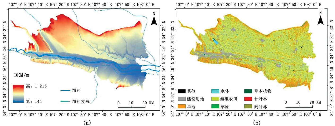
基于Sentinel-1及Landsat-8产品在渭河流域的土壤水分反演研究

打开文本图片集
中图分类号:X53
文章编号:1674-6139(2025)12-0116-06
文献标志码:B
Abstract:This study combines Sentinel -1 and Landsat -8 data to invert soil moisture in the Wei River Basin.Normalized Difference MoistureIndex(NDW)wasusedtostimatethevegeaionmoisturecontent(VWC)inthesudyarea,andawatercloudmodelwasusedfor soilmoistureinveiontoanalyzetheinversionrsultsTemainrsearchesultsareasflowsTheuseofwatercloudmodelsforsoilois tureinversioninthupperreachesoftheWeiRiveriseasibleandtheefectmeetsexpectatios.Therelativehumidityofthesoilintee searchareaisatamoderateleveltroughouthefourseasonsinspring,whichistemostbalancedtate.Itisdriestinsummeandwetest inwinter.Theoveralltrendisominatedbyilddroughtareas,withminorhangesinseveredroughtareas.Soloisturechangsinly occur innondroughtandmoderatedroughtareas,showingadecreasing increasing trend throughoutthe four seasons.
Keywords:backscattering coefcient;soil moisture;water-cloud model
前言
土壤水分是研究及预测气候变化的重要参数,同时也在土壤和大气中的能量转换扮演着重要角色。(剩余6178字)