基于组合优选及随机森林算法的东营市湿地分类方法

打开文本图片集
中图分类号:P237 文献标志码:A
Abstract:To efectivelyaddress the problems of data redundancyand accuracy degradationthatoccur when fusing multiple types offeature factors and multi-temporal remote sensing images for wetland clasification,and considering the current situationof diferences in clasification accuracyof multi-temporal remotesensing imagesunder diferent quantitiesand combinations,a clasification method combining feature factoroptimization and temporal combination optimization was proposedbasedon GoogleEarth Engine(GEE)remotesensingcloud platform.Using therandom forestalgorithm,18factors that significantlycontribute to wetland clasification wereselectedfrom 32 featurefactors.The impact of numberand combinationof multi-temporal imageson classfication accuracywas analyzed,and a classfication scheme suitable for wetlandinformation extractioninDongyingCity,Shandong Province wasultimatelyselected.Theresultsshowthatfeature optimizationcanselect featurefactors thatcontribute significantly to wetlandclasification,ensuring thatsuficient feature typesareinput whilereducingthefeature number of inputs,therebyreducing dataredundancyand improving clasificationaccuracy.Diferentfeature factorscontribute differentlyto wetland classification,among whichspectral characteristics,water index,texture characteristics,andbulding index have highercontributions to wetlad classfication.Fusionof multi-temporalremote sensing images is helpfultoimprove clasificationaccuracy,butas the numberof images continues to beadded,the accuracy improvement graduallydecreases,so taking both imagequalityand quantity intoconsideration isaneffective means toimprove classfication accuracy.Theoverall classfication accuracy valuesof the 5-phase wetland clasifications conductedin Dongying Citybycombining featureoptimizationandtemporal phaseoptimization areallabove (2 85% ,and the Kappa coefficients are all above O.75,showing that the area of constructed wetlands in Dongying City presents an increasing trend,while the area of natural wetlands presents a decreasing trend.
Keywords:wetland;remotesensing image;featureoptimization;timephaseoptimization;GoogleEarthEngine;Dongying City
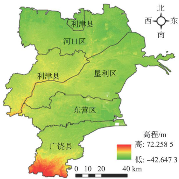
湿地被广泛认为是地球上重要的自然资源和国土资源之一,具有涵养水源、防洪救灾等多种独特作用[1-2]。(剩余11094字)
