黄河三角洲引黄灌区土壤盐分遥感反演及空间分布特征

打开文本图片集
Remote Sensing Inversion and Spatial Distribution Characteristics of Soil Salinity in the Yellow River Irrigation Area of the Yellow River Delta
QI Zhaishuo,FU Xin, ZHANG Haoran,HUANG Jin,PANG Guibin,XU Zhenghe(Schoolof Water Conservancyand Environment,Universityof Jinan,Jinan 25oo22,Shandong,China)
Abstract:To accurately graspthespatialdistributioncharacteristicsofsoilsalinityintheYellowRiverDelta rrigationarea, Kendong Irrigation District in Binzhou City,Shandong Provincewas chosenas thestudyarea,basedonthe soilsalinitydata fromfield surveyand Sentinel-2B multispectralremotesensing data,thespectral indices thathada strong explanatory powerof soil salinitywereselected using geodetic detector.Thepartial least square methodwas thenusedto construct remote sensing inversion modelsof soil salinityand explorethe spatialdistributioncharacteristicsof soilsalinity in the study area.The results show that the optimal spectral indices with high explanatory power ( q>0.05 )andhighly significant level ( P <0.01)for soil salinity are visible-infrared salinity index,extended diffrence vegetation index,normalized diference waterindex,nonlinear index,S6salinityindex,brightness index,reflectivityof sateliteB8Aband,INT2 salinity idex,optimized soil adjusted vegetation index,soil adjusted vegetation index,enhancedvegetation index,SI3 salinityindex,extendedratiovegetationindex,salinityindex,atmosphericalyresistantvegetationindex,S5salinityindex. The determinationcoefficient and meanrelative erorof theremote sensing inversionmodel of soil salinityareO.77and 0.36,respectively,the model can predict the salinitycondition in the study area more accurately.The studyarea consists of non-saline soil,mildly saline soil and moderately saline soil. The area with a salt mass ratio less than 0.2g/kg in nonsaline soil accounts for the largest proportion,which is 50.43% . The mildly saline soil and moderately saline soil show a fragmenteddistribution,mainlyoccuring in the non-planting area,which is inline with theresultsoffieldsurvey.The average soil saltcontentof differentlanduse-covertypes is significantly different,andtheorder ofland use-cover types withtheaverage saltcontentfrom large to smallis saline wasteland,abandoned land-summer corn field,forestland, winter wheat-summer corn field,and paddy field.
Keywords : soil salinity;remote sensing retrieval; spatial distribution; geodetector; the Yellow River Delta
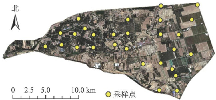
土壤盐渍化是土壤表层集聚可溶性盐的一种现象,极大地限制了农业发展和土地资源的可持续利用,因此土壤盐渍化已经被列为中国生态文明建设和全球变化议题中的重要研究方向。(剩余9364字)
