复杂黄土塬区DAS井地联采处理技术及应用

打开文本图片集
关键词:黄土塬区,DAS-VSP,高分辨率处理,3D-VSP成像,高斯束偏移中图分类号:P631 文献标识码:A DOI:10.13810/j. cnki. issn. 1000-7210.20240224
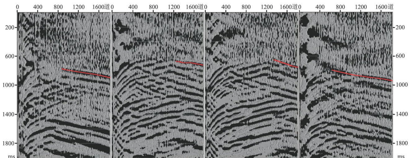
Abstract:This paper is the second part of the research on DAS borehole-surface joint exploration(BSJE) tech nology in the onshore loess plateau area:data processing section. Aiming at tackling challenges of static correction in complex loess plateau area,low SNR of data,and poor imaging quality,based on the DAS 3D-VSP data acquired by BSJE,this study investigates signal analysis and imaging processing of onshore DAS 3D-VSP data, including DAS 3D-VSP adaptive wavefield separation,DAS 3D-VSP high-resolution processing,and DAS 3DVSP angle-domain Gaussan beam prestack depth migration,etc. By extracting accurate time-depth relationships,horizon velocities,deconvolution operators,spherical spreading compensation factors,atenuation factors around the well,high-resolution processing ofDAS 3D-VSPcan be achieved in conjunction with surface seismic data.Through practical applications in a certain block in the eastern part of the Ordos Basin,the efective frequency band of DAS 3D-VSP imaging data reaches 4~85Hz ,and the correlation coefficient of the well-seismic wave group is improved by 9.7% on average,thus,laying a solid data foundation for subsequent seismic geological interpretation,reservoir fine description,and residual oil exploration.
Keywords: loessplateauarea, DAS-VSP,high-resolution processing,3D-VSPimaging, Gaussianbeammigration 李乐,陈浩林,曹中林,等。(剩余10870字)
