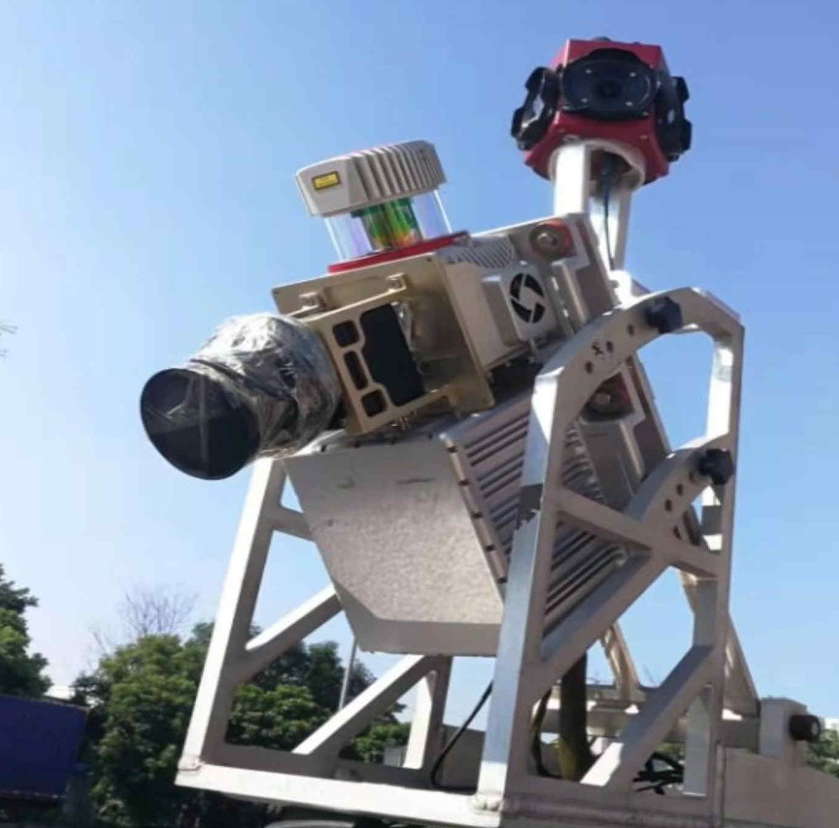
车载三维激光扫描技术在道路竣工测量中的应用

打开文本图片集
摘 要:介绍了车载三维激光扫描技术在道路工程竣工测量中的内外业处理流程,提出了采用标靶点校正的方法以提高车载扫描成果精度,通过生产实例对该技术进行验证和应用。试验结果表明,利用标靶点校正的车载扫描成果能满足道路竣工测量的精度要求,同时表明该作业方法大大提高外业作业生产效率。
关键词:车载三维激光扫描;竣工测量;标靶点;点云校正
中图分类号:P225 文献标志码:A 文章编号:1003-5168(2022)1-0029-04
DOI:10.19968/j.cnki.hnkj.1003-5168.2022.01.006
Application of Vehicle Borne 3D Laser Scanning Technology in Road Completion Survey
XIONG Jianfei1 WANG Fei2 LIN Yuhui2 LU Qidong1
(1.SGIDI Engineering Consulting (Group)Co.,Ltd.,Shanghai 200093,China;2.Guangdong Shunde Central Urban Investment Development Co.,Ltd.,Foshan 528000,China)
Abstract: This paper introduces the processing flow of on-board 3D laser scanning technology in road engineering completion survey, puts forward the method of target point correction to improve the accuracy of on-board scanning results, and verifies and applies the technology through production examples.The experimental results show that the vehicle scanning results of target point correction can meet the accuracy requirements of road completion survey, and this operation method greatly improves the production efficiency of field operation.
Keywords:vehicle 3D laser scanning;completion survey;target point;point cloud correction
0 引言
为满足城市升级、促进区域经济发展,以及居民出行的需要,提升城市路网功能已迫在眉睫,国内各大城市掀起了新一轮道路提升改造工程,以提高城市内主干道道路通行能力。(剩余3247字)
