SWAT与GIS耦合的流域多要素水环境管控单元划分

打开文本图片集
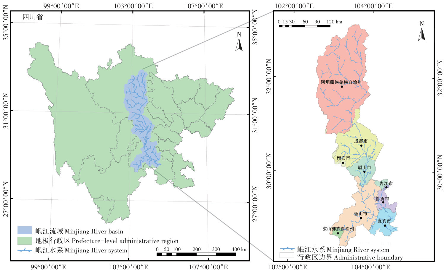
关键词:多要素水环境管理;控制单元划分;SWAT模型;GIS技术;岷江流域中图分类号:X52 文献标志码:A 文章编号:2095-6819(2025)03-0815-10 doi: 10.13254/j.jare.2024.0101
Division of multi-factor water environmental control units in watersheds based on the SWAT and GIS coupled models
YU Yang1, MIN Xuefeng1, WANG Dan1, LIU Yumei1, WEN Linglong1, WANG Litong1, ZHAO Rui1, 2 (1. School of Environmental Science and Engineering, Southwest Jiaotong University, Chengdu , China; 2. State-Province Joint Engineering Research Lab in Spatial Information Technology for High Speed Railway Operation Safety, Southwest Jiaotong University, Chengdu , China)
Abstract:This study developed a methodology for the multi-factorial control unit division and risk level assessment in a watershed, aimed at providing technical support and a decision-making basis for the refined watershed management. By integrating the SWAT model with ArcGIS technology and combining the entropy weight TOPSIS method and the Jenks natural fracture method, we have successfully delineated multi-factorial water environment control units and evaluated risk levels in the Minjiang River basin. The results indicated that the Minjiang River basin was divided into 12 control units and four control levels, including two units with a very high risk, two units with a high risk, three units with a medium risk, and five units with a low risk. The fit between the integrated attributes of each control unit and the measured element showed R2 values reaching 0.63, indicating that the delineation results can be used to reflect the spatial distribution characteristics and change trends of each element.
Keywords:multi-factorial water environment management; control unit division; SWAT model; GIS technology; Minjiang River basin
在水资源高度开发利用的同时,我国正面临严峻的水污染挑战。(剩余18055字)
