基于DEM技术的黄河口拦门沙分析

打开文本图片集
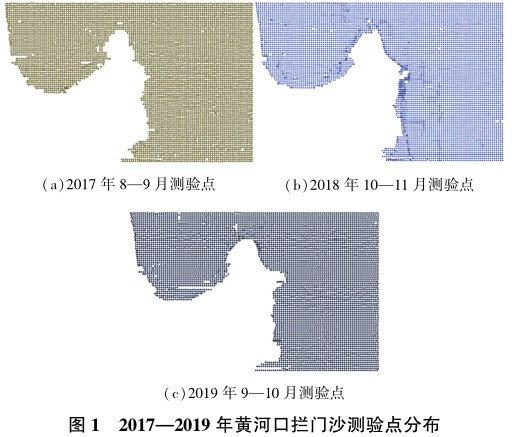
摘 要:为了解近年来黄河口拦门沙发育情况,利用2017—2019年该区域水下地形数据,通过GIS建立DEM模型,分析区域淤积变化情况,发现黄河口拦门沙向西北和东北方向逐年发育,近口门处水下地形变化剧烈,来水来沙是形成拦门沙的主要因素。
关键词:黄河口拦门沙;淤积分析;DEM
中图分类号:TV148;TV882.1 文献标志码:A doi:10.3969/j.issn.1000-1379.2022.01.007
引用格式:左婧,高源,徐丛亮.基于DEM技术的黄河口拦门沙分析[J].人民黄河,2022,44(1):33-36.
AnalysisofSandbaratYellowRiverEstuaryBasedonDEMTechnology
ZUOJing1,GAOYuan1,XUCongliang2
(1.ShandongHydrologyandWaterResourcesBureau,YRCC,Jinan250100,China;
2.InstituteoftheYellowRiverEstuaryandCoastScience,Dongying257000,China)
Abstract:InordertounderstandthedevelopmentofthesandbarattheYellowRiverestuaryinrecentyears,thispaperusedtheunderwater topographicdataoftheareafrom2017to2019tobuildDEMmodelandanalyzetheregionalsedimentationchangesthroughGIS.Itisfound thatthesandbarattheYellowRivermouthdevelopsyearbyyeartothenorthwestandnortheast,theunderwatertopographyneartheentrance changessharplyandtheincomingwaterandsedimentarethemainfactorsforformingthesandbarattheYellowRiverestuary.
Keywords:sandbaratYellowRiverestuary;siltationanalysis;DEM
黄河口拦门沙是横亘于黄河入海处的泥沙堆积体[1],它的变化对黄河口的演变具有较大影响,同时对黄河口附近海区及下游河道的冲淤演变有一定影响。(剩余5714字)
